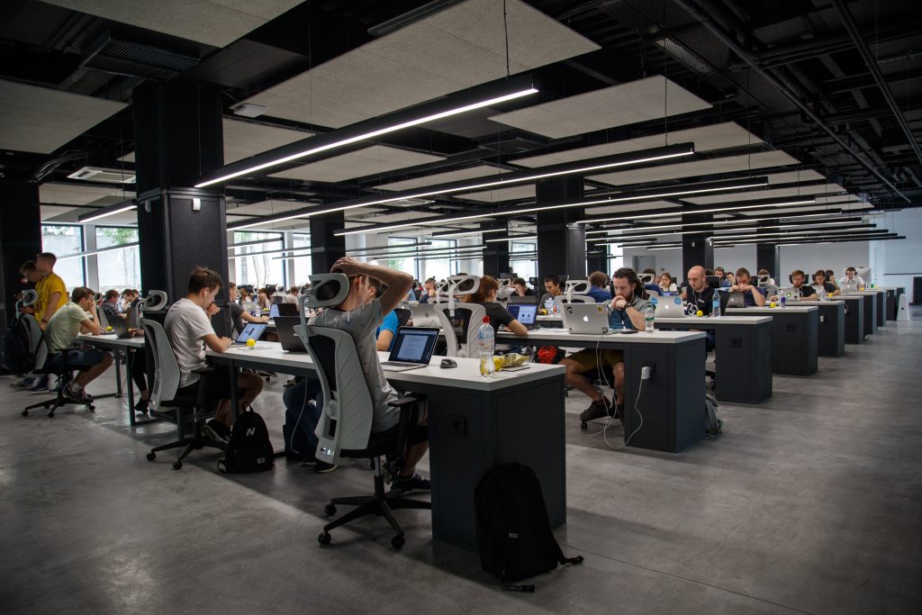
“39 creative data professionals developed 13 prototypes based on open data within two days,” reports Dr. Robert Franke, Head of the Office for Economic Development, on the result. Together with Jens Opitz, chairman of the GDI Sachsen e.V., he opened the event on Saturday. “The willingness to go new ways with open data accessible to everyone and to develop new functional ideas within the framework of a hackathon is trend-setting,” says Jens Opitz proudly. “That’s why we, as economic development agencies, continue to support this idea and hope that this success story will continue by 2021 at the latest,” continued Franke.
Network for open geo-data sets
At the end of the two-day event on Saturday, November 9 and Sunday, November 10, the project “Stadtupdate” was also awarded, which informs citizens about events from the city council or construction sites in the city, depending on where they live. Furthermore, a so called “construction site finder” convinced with its visualization. Due to the variety of innovative ideas, the state-owned company ‘Geobasisinformation und Vermessung’ (GeoSN) awarded a special prize for a 3D printing solution. The award-winning team developed a workflow with which aerial photos can be mapped onto a digital elevation model and printed in 3D, which was realized in maker space with 3D gypsum printing.
The so-called Open Data Camp was organised by the Office for Economic Development of the state capital Dresden together with the GDI Sachsen e.V. (GDI SN). Various institutions have made their digital treasures available as data sponsors. These include the municipal statistics office and the office for geodata and cadastre of the city of Dresden, but also the state company ‘Geobasisinformation und Vermessung’ (GeoSN), the ‘LISt Gesellschaft für Verkehrswesen und ingenieurtechnische Dienstleistungen’ (LISt GmbH) as well as the ‘Dresdner Verkehrsbetriebe’ (DVB) and the ‘Verkehrsverbund Oberelbe’ (VVO).
The State Office for the Environment, Agriculture and Geology (LfULG) provided a number of interesting data at short notice. The team of the Chair of Geoinformatics at TU Dresden and the Design Thinking Team of T-Systems MMS methodically supported the camp and the participants. The hackathon was based on the freely accessible data sets with the aim of developing exciting and innovative solutions individually or in project teams. The so-called Open Data Camp is part of the European lighthouse project MAtchUP of the Office for Economic Development.
Projects with perspective
All results will be presented on the Open Data Camp website. The ideas developed in the camp will be followed up: The Dresden-based incubator “Zukunftsstadt” is in discussion with the project teams in order to further develop the resulting solutions in the ‘Zukunftsstadt’ process so that all Dresden residents and guests can benefit from the new solutions.
The results awarded for the Hackathon will be presented on 28 January 2020 at the joint event of GDI SN, DVW Sachsen e. V., BDVI Landesgruppe Sachsen and VDV Landesverband Sachsen “Digitale Welten” – Kongress für Geoinformatik und Geodäsie in the plenary hall of the Dresden City Hall. Via the hashtag #odcDresden19 interested parties can continue to network and exchange information.
Press release from 14.11.2019, released by City of Dresden, translated into English by MAtchUP Office Dresden
Link here.
Cover photo by Alex Kotliarskyi on Unsplash


